AccuWeather

ACCUWEATHER FORECAST

Accuweather Forecast
Watch the latest Accuweather Forecast from ABC30 Action News.
Watch the latest Accuweather forecast on ABC30 Action News.MORE
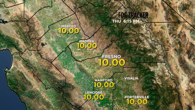
Weather Maps
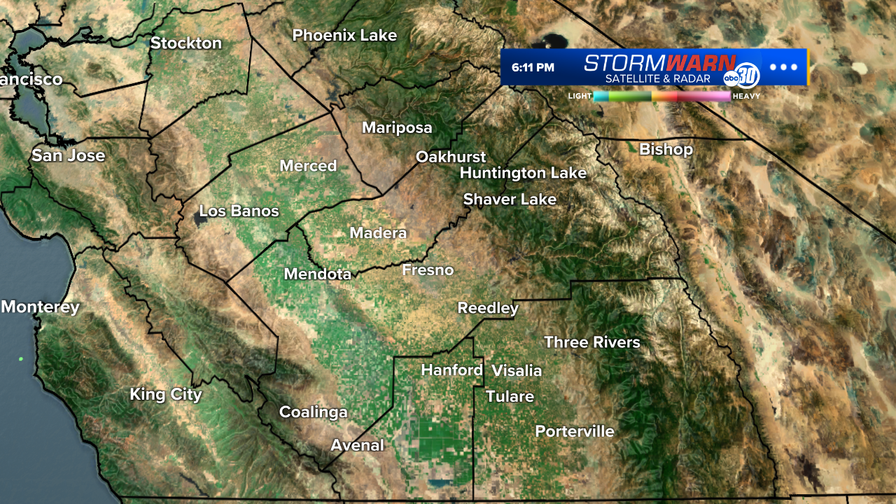
StormWarn 30 Radar
Weather News
Travel Planner
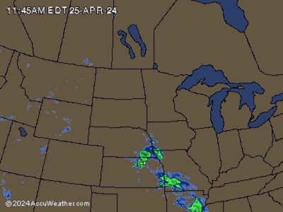
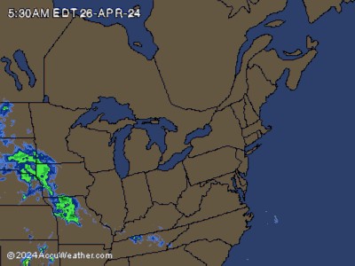
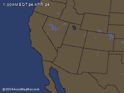
National Radar